Používaním stránok onlineweather.online súhlasíte s používaním cookies. Viac info OK

Kanada - Webkamery
 Počet webkamier:
Webkamery Kanada
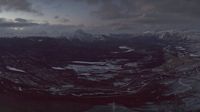
Jasper: Jasper SkyTram
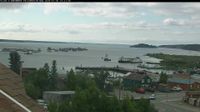
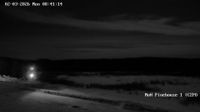
Ndilo › Juh: Mosher Island - Great Slave Lake - Yellowknife Bay
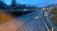
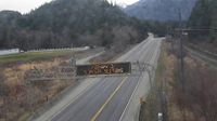
Squamish: Northridge › Sever: Highway 99 at Valley Drive in Squamish, looking north
Seguin Township › Západ: Highway 400 at Highway 518, Looking West
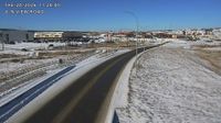
Cochrane: 4-N View Road
Northern Saskatchewan Administration District › Severozápad
Area B › Sever: Highway 1 at Alexandra Bridge, looking north
Moncton › Západ
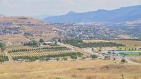
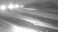
Osoyoos › Sever: US 97 at MP 336.4: (View North)

Merritt › Juhozápad: true
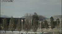
Vernon › Jihovýchod: Allan Brooks Nature Centre
High Level › Západ: true
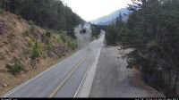
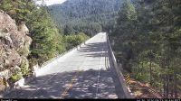
Boothroyd 8A › Juh: Highway 1 between Boston Bar and Lytton at Jackass Mountain summit near CəX̣ʷ Cixʷ (Check-Chow) Bridge, looking south

Churchill Falls › Západ: true
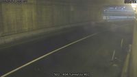
Hope 1 › Severovýchod: Highway 7 about 2 km west of Hope, looking eastbound
Hants County › Západ

Ross River › Východ

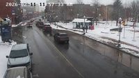
Mississauga: Erindale: QEW East of Erin Mills Parkway
Webkamery poskytuje windy.com.
Pozrite si aktuálne počasie yr.no Kanada. Pre viacej informácií si zvoľte mesto. Zistite si predpoveď počasie pre mesto / obec v krajine Kanada.
© Copyryght 2026 onlineweather.online, Predpoveď počasia z yr.no, NRK, (Nórske počasie po slovensky) kontakt