Používaním stránok onlineweather.online súhlasíte s používaním cookies. Viac info OK

Kanada - Webkamery
 Počet webkamier:
Webkamery Kanada

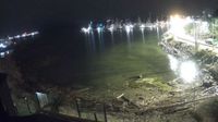
Area A: Calvert Island Mount Buxton #2
Comox
Area A
Vernon › Východ: Predator Ridge Resort

Hamlet of Springbrook › Západ: true
Municipal Pincher Creek No. 9

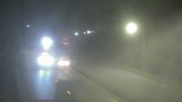
Kelowna › Sever: Highway 33 about 41 km southeast of - just south of Big White Road, looking north

Unorganized Thunder Bay District › Západ: true
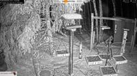
Black Diamond › Západ: Foothills Birds - Live BirdCam [50+ Species

Atlin › Juh: true
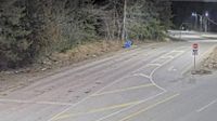
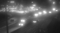
Port Coquitlam › Západ: Hwy 7B, on Mary Hill at Kingsway Ave, looking west
Wells › Západ: Highway 26 near - about 78 km east of Quesnel, looking west
Trout Lake › Sever: Highway 23 near the Upper Arrow Lake ferry landing at Shelter Bay, looking north at lineup
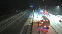
Area B › Sever: Highway 5 at the Great Bear Snowshed, looking north

Hope › Severovýchod: Hope Regional Airpark
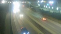
North Vancouver › Sever: Highway 1 at the north end of Ironworkers Memorial Bridge, looking north
Regional Okanagan-Similkameen › Západ: Highway 97C (Okanagan Connector) about 25 km east of Highway 5A and Highway 97C junction, looking west

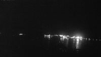
Old) Ottawa › Západ: Britannia Beach
Webkamery poskytuje windy.com.
Pozrite si aktuálne počasie yr.no Kanada. Pre viacej informácií si zvoľte mesto. Zistite si predpoveď počasie pre mesto / obec v krajine Kanada.
© Copyryght 2026 onlineweather.online, Predpoveď počasia z yr.no, NRK, (Nórske počasie po slovensky) kontakt