Používaním stránok onlineweather.online súhlasíte s používaním cookies. Viac info OK

Kanada - Webkamery
 Počet webkamier:
Webkamery Kanada

Kings › Juh
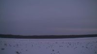
Northern Saskatchewan Administration District › Jihovýchod: Key Lake Airport - Saskatchewan, Canada
Area C › Juhozápad: Highway 20 about 88 km from Bella Coola and 41 km from Anahim Lake, near gate at top of Bella Coola hill, looking southwest

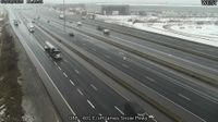
Downtown East Village: 6 Avenue - 1 Street SE
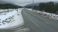
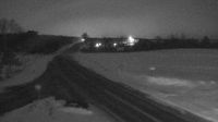
Sparwood › Jihovýchod: Highway 3 - Crowsnest Highway

Lions Bay › Sever: Highway 99 in - looking north
Sooke › Východ: Highway 14 at Lazzar Road near - looking east
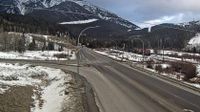
Blue River › Severovýchod: Highway 5 at Shell Road in - looking northeast

Cote-Nord-du-Golfe-du-Saint-Laurent › Západ: true
Woss › Jihovýchod: Highway 19 about 101 km north of Campbell River and about 27 km south of - near Tsitika, looking southeast
Eastend › Severovýchod: Lookout Pass - AVA NoMa

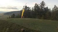
Saint-Donat: Mont-Comi Park
Meaford: Ontario 26 - Ontario 112

Cobble Hill › Juh: Highway 1 at Cowichan Bay Road - Road, looking south
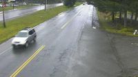
AshfieldColborneWawanosh › Juh: Highway 21 near Nile Road, Looking South

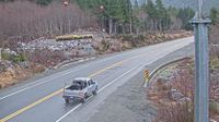
Lequille: Nova Scotia
Vernon › Severozápad: British Columbia, Canada
The Archipelago Township › Severozápad: Healey Lake - Ontario, Canada
Webkamery poskytuje windy.com.
Pozrite si aktuálne počasie yr.no Kanada. Pre viacej informácií si zvoľte mesto. Zistite si predpoveď počasie pre mesto / obec v krajine Kanada.
© Copyryght 2026 onlineweather.online, Predpoveď počasia z yr.no, NRK, (Nórske počasie po slovensky) kontakt