Používaním stránok onlineweather.online súhlasíte s používaním cookies. Viac info OK

Kanada - Webkamery
 Počet webkamier:
Webkamery Kanada
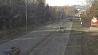
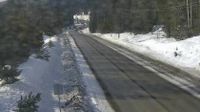
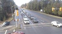
Terrace › Západ: Highway 16 at Highway 37S on the border of - and Thornhill, looking west
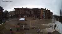
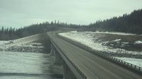
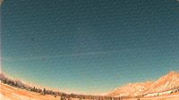
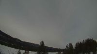
Revelstoke
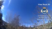
View Royal › Severozápad
Valemount: Valemount Airport (CAH4)
Invermere › Západ: Toby Creek Road at Panorama Fire Hall, near Springs Creek Road, looking west
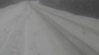
Flatbush: Hwy 44: South of Twp Road 654 near
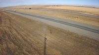
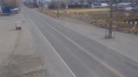
Parkland: Hwy 2: south of Nanton
Alert Bay › Západ: Highway 19 at Campbell Way in Port McNeill, looking west
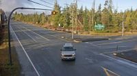
Courtenay › Západ: Intersection of Ryan Road and Lerwick Road in - looking west
Drayton Valley: Hwy 22 - Bridge
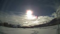
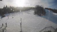
Clearview › Západ: Highlands Nordic
Nackawic: Ski Crabbe Mountain Ltd.
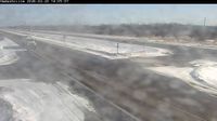
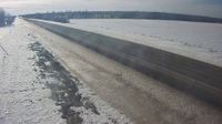
Hadashville: Trans-Canada Highway
Invermere › Sever: Invermere Airport (CAA8)
Keremeos › Východ: Highway 3 at - Bypass Road, looking east
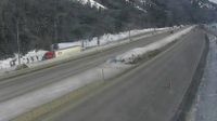
Fraser Valley Regional District › Sever: Highway 5 northbound at Zopkios Rest Area near the Coquihalla Summit looking north
Valemount › Severozápad: true
Northern Rockies Regional Municipality › Východ: Highway 97 at Highway 77 junction about 28 km north of Fort Nelson, looking east
Webkamery poskytuje windy.com.
Pozrite si aktuálne počasie yr.no Kanada. Pre viacej informácií si zvoľte mesto. Zistite si predpoveď počasie pre mesto / obec v krajine Kanada.
© Copyryght 2026 onlineweather.online, Predpoveď počasia z yr.no, NRK, (Nórske počasie po slovensky) kontakt