Používaním stránok onlineweather.online súhlasíte s používaním cookies. Viac info OK

Kanada - Webkamery
 Počet webkamier:
Webkamery Kanada
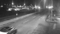
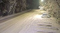
Area A › Juh: Highway 1 at Vowels Road next to Nanaimo Airport, looking south
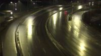
West Kelowna › Západ: WR Bennett Bridge west end, connecting Kelowna and - looking west
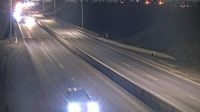
Kamloops › Západ: Highway 1 at Peterson Creek bridge in - looking west
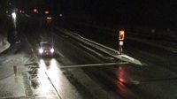
Campbell River › Juh: Highway 19 about 2.5 km south of - at Willis Road, looking south

Weyburn › Severozápad: true
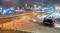
Nelson › Juh: Highway 6 near Highway 3A and Rosemont/Uphill interchange, looking south
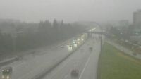
Richmond: Brighouse › Sever: Highway 99 at Shell Road, approaching Oak Street Bridge, looking north
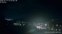
Colwood › Jihovýchod: Belmont Park - Victoria - Strait of Juan de Fuca
Creston › Juh: Highway 3 and Highway 3A junction in - looking south
Invermere › Juh
Chilliwack › Sever: Highway 1 at Prest Road in - looking north

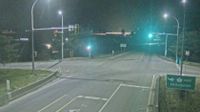
Black Diamond › Jihovýchod
Hagensborg › Západ: Highway 20 between Bella Coola and - looking west
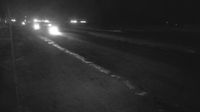
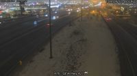
Blackfoot: Hwy 16: East of Hwy 897 near Lloydminster
High Level › Západ: true
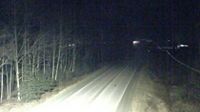
Petawawa › Sever: Highway 17 at - River Bridge, Looking North
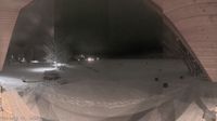
Heart's Content › Jihovýchod

Northern Rockies Regional Municipality › Juhozápad: true
Webkamery poskytuje windy.com.
Pozrite si aktuálne počasie yr.no Kanada. Pre viacej informácií si zvoľte mesto. Zistite si predpoveď počasie pre mesto / obec v krajine Kanada.
© Copyryght 2026 onlineweather.online, Predpoveď počasia z yr.no, NRK, (Nórske počasie po slovensky) kontakt