Používaním stránok onlineweather.online súhlasíte s používaním cookies. Viac info OK

Kanada - Webkamery
 Počet webkamier:
Webkamery Kanada
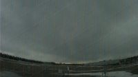
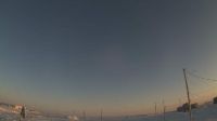
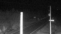
Edson › Západ: Airport - Canada
Pugwash: Nova Scotia
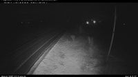
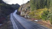
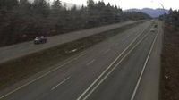
Fraser Valley Regional District › Juh: Highway 5 southbound at Zopkios Rest Area near the Coquihalla Summit, looking south
Pasadena: TCH, Pynn's Brook, NL, CA
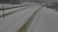
Squamish › Sever: Highway 99 about 24 km north of - looking north
Arviat › Juh
L'Anse au Loup

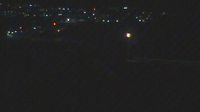
Kinngait › Juh: Cape Dorset - Nunavut, Canada

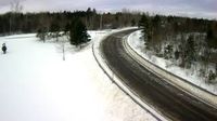
Area H › Západ: Highway 19 at Horne Lake Road, looking west
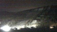
Aspen: Cochrane Hill Cam
Grand Bank › Severovýchod
Wentworth › Východ
Qualicum Beach › Západ: Highway 19 south of Qualicum Interchange at Highway 4, looking west
Berwick: Viewmount, Nova Scotia

Clearwater County › Sever: Rocky Mountain House - Alberta, Canada

Gravenhurst › Juh: true

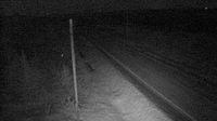
Houston › Severozápad: Highway 16 about 14 km northwest of - at Anderson Road, looking northwest
Chilliwack › Západ: Highway 1 at Prest Road in - looking west
Webkamery poskytuje windy.com.
Pozrite si aktuálne počasie yr.no Kanada. Pre viacej informácií si zvoľte mesto. Zistite si predpoveď počasie pre mesto / obec v krajine Kanada.
© Copyryght 2026 onlineweather.online, Predpoveď počasia z yr.no, NRK, (Nórske počasie po slovensky) kontakt