Používaním stránok onlineweather.online súhlasíte s používaním cookies. Viac info OK

Kanada - Webkamery
 Počet webkamier:
Webkamery Kanada

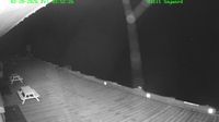
Kelowna › Juhozápad: Stuart Park Outdoor Ice Rink - BC Canada: View of the ice surface and marina
Sayward: British Columbia - Hardwicke Island 2
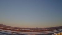
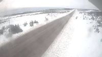
Quebec: Aeroport › Severozápad: true
Vancouver › Sever: Stanley Park Causeway at Stanley Park entrance, looking north
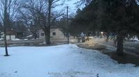
Arkona: Ontario
Flower's Cove: Route 430 - NL, CA
Unorganized North Algoma: Ontario - Montreal River Harbour
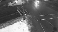
St. Catharines: Fairview Mall
Kingston: Cam
Cranbrook › Severovýchod: Highway 3/95 at 9 Avenue in - looking northeast
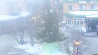
Mont-Tremblant: Tremblant place saint bernard
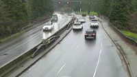
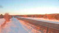
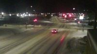
North York: Highway 401 West of Highway 404/DVP

Great Central: Port Alberni southeast

Lutsel K'e › Západ: true
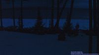
Hamilton Township: Ontario - Port Carling - Indian River

Jasper › Juh: Marmot Basin

Comox › Juhozápad: Point Holmes
Cookshire-Eaton › Severovýchod: Sherbrooke Airport - Quebec, Canada: Airport terminal
Webkamery poskytuje windy.com.
Pozrite si aktuálne počasie yr.no Kanada. Pre viacej informácií si zvoľte mesto. Zistite si predpoveď počasie pre mesto / obec v krajine Kanada.
© Copyryght 2026 onlineweather.online, Predpoveď počasia z yr.no, NRK, (Nórske počasie po slovensky) kontakt